
INDUSTRIES WE SERVE
BUILT FOR THE PEOPLE WHO POWER OUR COMMUNITIES
Aerial inspection and infrastructure intelligence tailored to utility, engineering, contractor, and municipal needs.
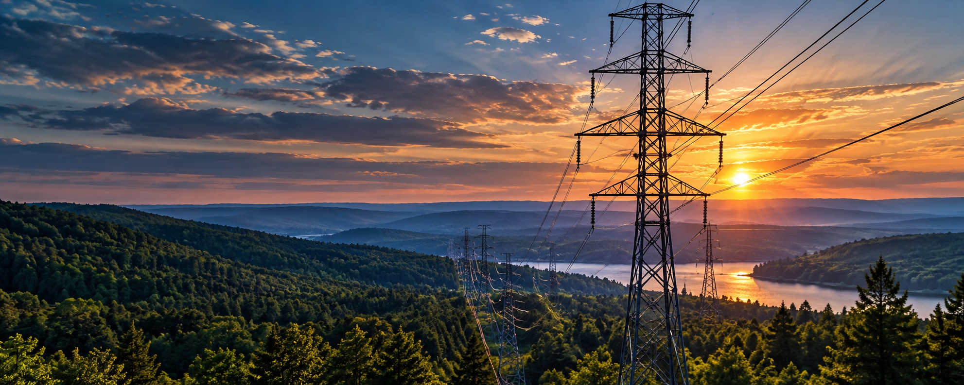
RELIABLE DATA FOR A STRONGER GRID.
ELECTRIC UTILITIES
Support for generation, transmission, and distribution with detailed visual inspections and actionable insights.
Visual asset inspections
Storm response documentation
Right-of-way and vegetation review
Asset condition reporting
Support for planning and maintenance

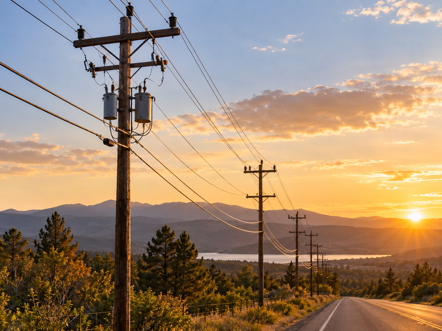
A HIGHER PERSPECTIVE FOR SMARTER DESIGN.
ENGINEERING FIRMS
Accurate aerial data and visual documentation to support planning, design, and projec development
Aerial data collection
Visual documentation for planning and design
Site condition imagry
Project progress documentation
Mapping and asset context
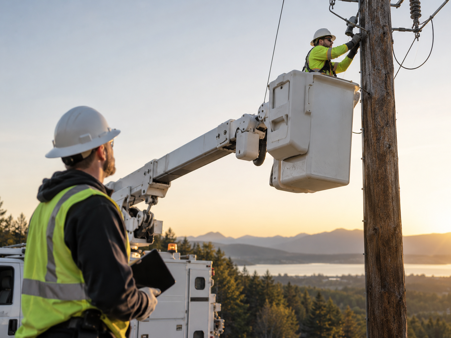
CLEAR INFORMATION KEEPS PROJECTS MOVING
UTILITY CONTRACTORS
Pre-work, in-dash progress, and post-work documentation helps crews plan, execute, and close out projects more efficiently
Pre work documentation
Field condition verification
Progress imagry
Access and site overview
Post-work documentation
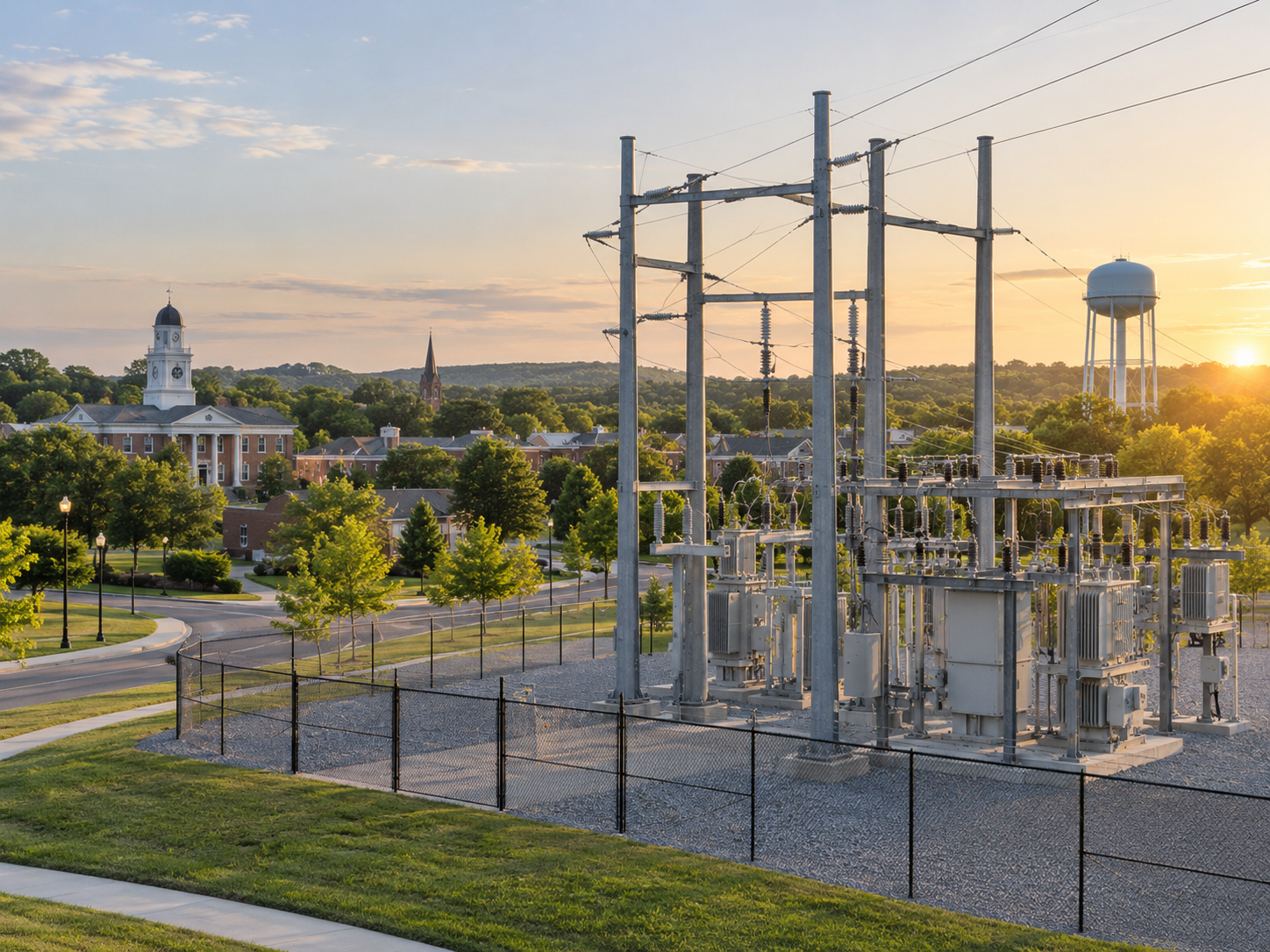
SUPPORTING SAFER, STRONGER COMMUNITIES
MUNICIPAL UTILITIES
Helping municipal utilities maintain reliable infrastructure with clear, organized visual data.
Local infrastructure inspections
Pole and asset documentation
Storm and emergency support
Vegetation and right-of-way visibility
Organized reporting for maintenance planning
BUILT FOR INFRASTRUCTURE TEAMS

SAFER VISUAL ACCESS
Inspect hard-to-reach assets without putting people at unneccessary risk
FASTER FIELD DOCUMENTATION
Get the information you need quickly and efficiently
CLEAR, ORGANIZED REPORTING
High quality, labeled deliverables ready for your work flows

FLEXIBLE PROJECT SUPPORT
From routine inspections to emergency response, were ready when you need us.